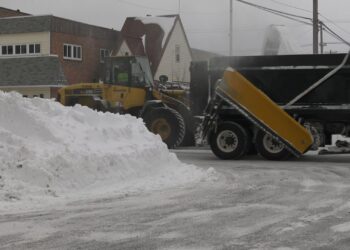
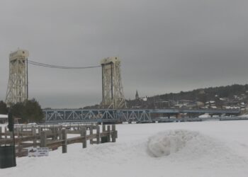
This was the scene one year ago today (Oct. 18): it snowed, and it snowed a lot– at least in some UP locations. It was one of those “elevation snows” that often occur during the fall. This means that the air temperature was marginal, which means even where it snowed, it was above freezing. Plus, the temperature of Lake Superior was still coming off its lake summer peak.
Currently, the mid-lake water temperature of Lake Superior is still about 50°. This means lakeshore communities will usually stay warm enough for just rain, or a mix of rain and snow.
Last year, a total of 18.1″ of very wet snow fell at the National Weather Service site in Negaunee Township. Marquette received a sloppy mixture of rain and snow and had only a trace of accumulation.
The first measurable snow is an annual event that usually occurs around the middle of October. The average first snow of a tenth of an inch or more at the NWS is October 18.
The earliest measurable snow at the NWS occurred on September 22 in both 1974 and 1989. The latest first measurable snow was November 19 in both 1994 and 2016.
By decade, the average first snow varies by almost two weeks. In the late 1980s and 2000s, the average date was October 11. In the 1960s, 1970s, and 2010s, it was in late October.
This year, a passing trough is forecast by the American “GFS” computer model to produce some snow in the north-central highlands of the UP this weekend, but the European model (among a list of others) produce none. Afterwards, a west-to-southwest flow should produce relatively mild weather at least up until Halloween.


