Cold front moving across the U.P. today, setting off some light snow showers. Some good lake effect from Ontonagon into the Ottawa National Forest later today. Most areas, though, getting less than 2″ of snow. After a decent Saturday, next weather system will set off some decent snow for Sunday into early Monday
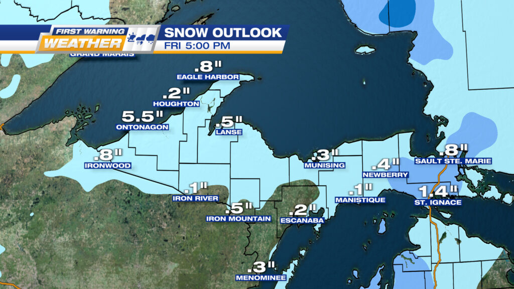
EXPECTED SNOWFALL THROUGH THE END OF FRIDAY
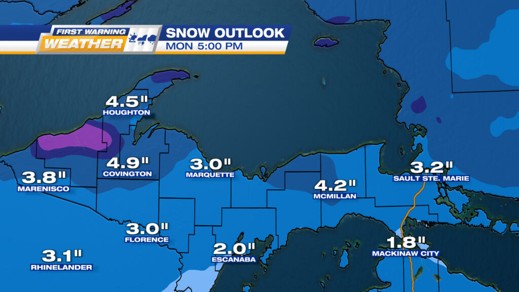
EXPECTED SNOWFALL TOTALS FROM SUNDAY INTO EARLY MONDAY