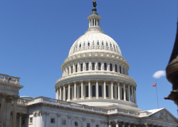
WASHINGTON, D.C. – As states race to redraw their congressional lines, we are taking a closer look at the history of gerrymandering. As we take a closer look at gerrymandering, we want to take you back in time to when the practice began.
In the modern world people know “gerrymandering” as the manipulation of the map-drawing process for political gain. Benjamin Schneer, an Associate Professor with the Harvard Kennedy School explains the practice of it dates back centuries ago.
“The idea of gerrymandering is quite old, maybe even older than the name Gerrymandering,” said Schneer. “The name comes from back in 1812 when the Governor of Massachusetts, who was named Elbridge Gerry. His party drew state senate district map up north of where I am now in Boston towards the North Shore. That was so strange looking and contorted that a newspaper drew a cartoon of the district where they essentially made it look like a salamander, a dragon, almost, and called it ‘the gerrymander’, and so that was how the name was coined.”
Schneer explains the practice of map-manipulation goes back even before “gerrymandering” became the commonly known term.
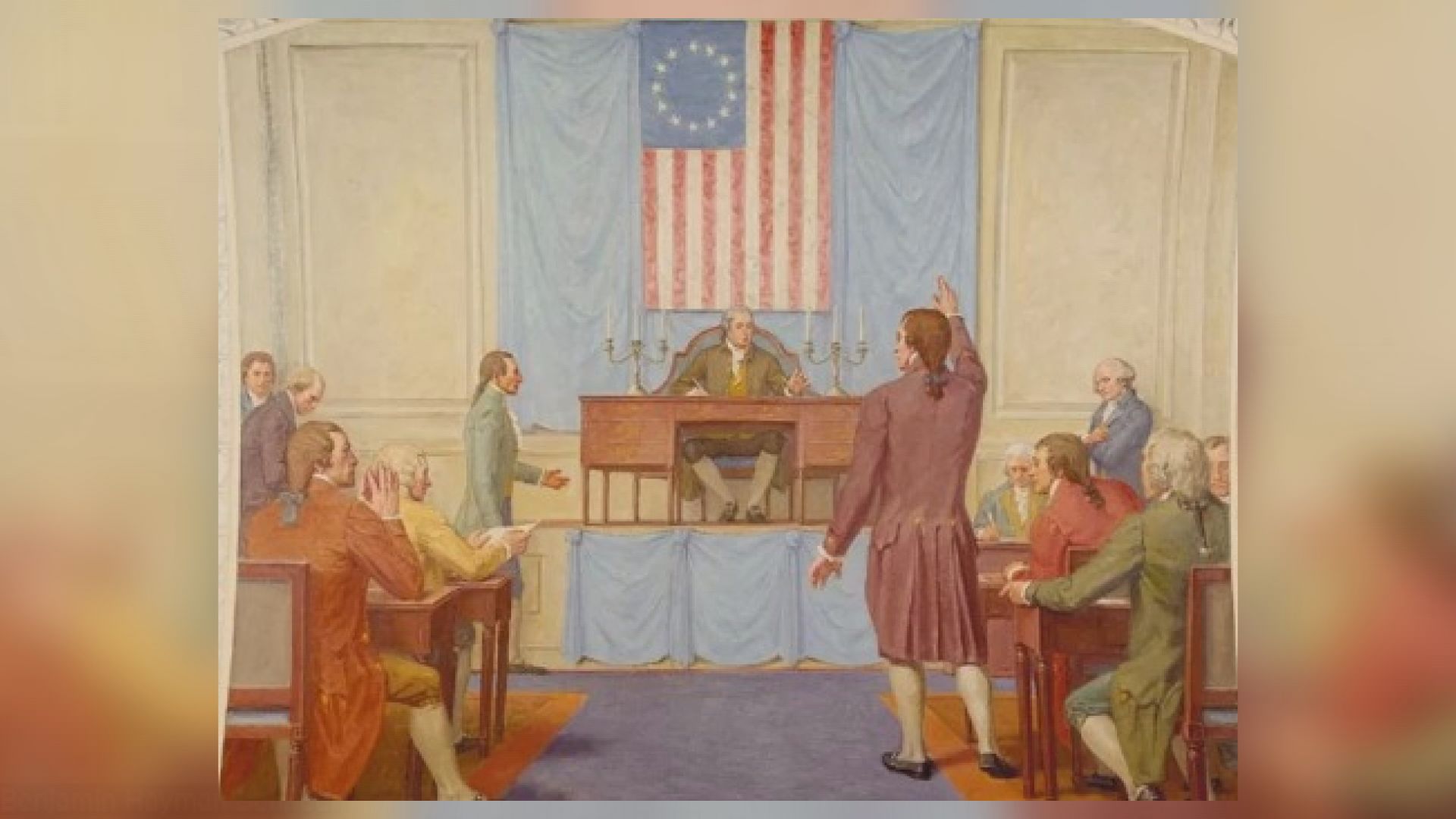
“I think you can go back to the near the founding of our country, and even maybe before that,” said Schneer. “Another classic example involves Patrick Henry and James Madison. Patrick Henry controlled the Virginia legislature and wanted to keep James Madison out of winning a House seat to win, they were going to seat the first Congress, and so he essentially drew the county where James Madison lived into a district with other counties that where he knew that there would be voters who were likely not to support to support Madison.”
Madison ended up winning that election in a close race. Schneer said he had to go around and campaign which was unusual back then.
“So, this was a scenario where the district itself didn’t look really weird, but it was drawn in such a way to try to advantage, you know, for political advantage,” said Schneer.
One could argue there are a few so-called “strange” looking districts in today’s congressional maps. Schneer explains districts need to be equal in population.
“It can be a case where just to have equal population, you’re not going to have like perfectly square compact districts,” said Schneer. “Another scenario where they are dealing with islands or bodies of water. You can have strange-looking non-compact districts and it not be a gerrymander, but at the same time, a telltale sign of gerrymandering at the same time can also be strange looking non-compact districts. So, it just, it really just kind of depends on the state.”
When the House of Representatives was created, it aimed for members to represent specific geographic districts. In today’s latest race to redraw the lines, some argue it undermines the purpose of the House of Representatives.
“When you have these crazy districts cutting across all over the state, cutting across different communities with really different interests, really heterogeneous interests, you’re losing something that,” said Schneer. “That’s the sort of representation of these local interests in a real way and so I think that’s unfortunate for where we are with our representative democracy.”