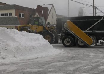
Snow is usually piling up at this time in December, especially near Lake Superior. But this year, there has been only 10.3″ of snow so far at the National Weather Service office in Negaunee Township. This is nearly three feet below average, tied with 1998, and just behind 2015 (10.1″) for the least snowy winter on record to this point.
The El Niño of 2015-16 was one of the strongest on record. There was very warm water near the equator off South American. This pales, however, to the warmth of the Super El Niño of 1997-98. This was the strongest El Niño of the satellite era.
In the present El Niño, the warm pool is not as warm, and the warm water is spread out. This expansion of warmth may have an impact on our weather later in the season.
The two Super El Niños had consistently warm winters throughout. That was especially so in the winter of ’97-’98 when February 1998 came in over 14° above average! The other El Niño winters during this time had some cold periods later in the winter. In fact, the winters of 2002-03 and 2018-19 turned quite cold as the seasons progressed.
This was probably because these winters were “Modoki” El Niños. In a Modoki El Niño, the warmest water shifts westward toward the central Pacific. That changes the flow pattern and can mean arctic cold blasts for Upper Michigan.


