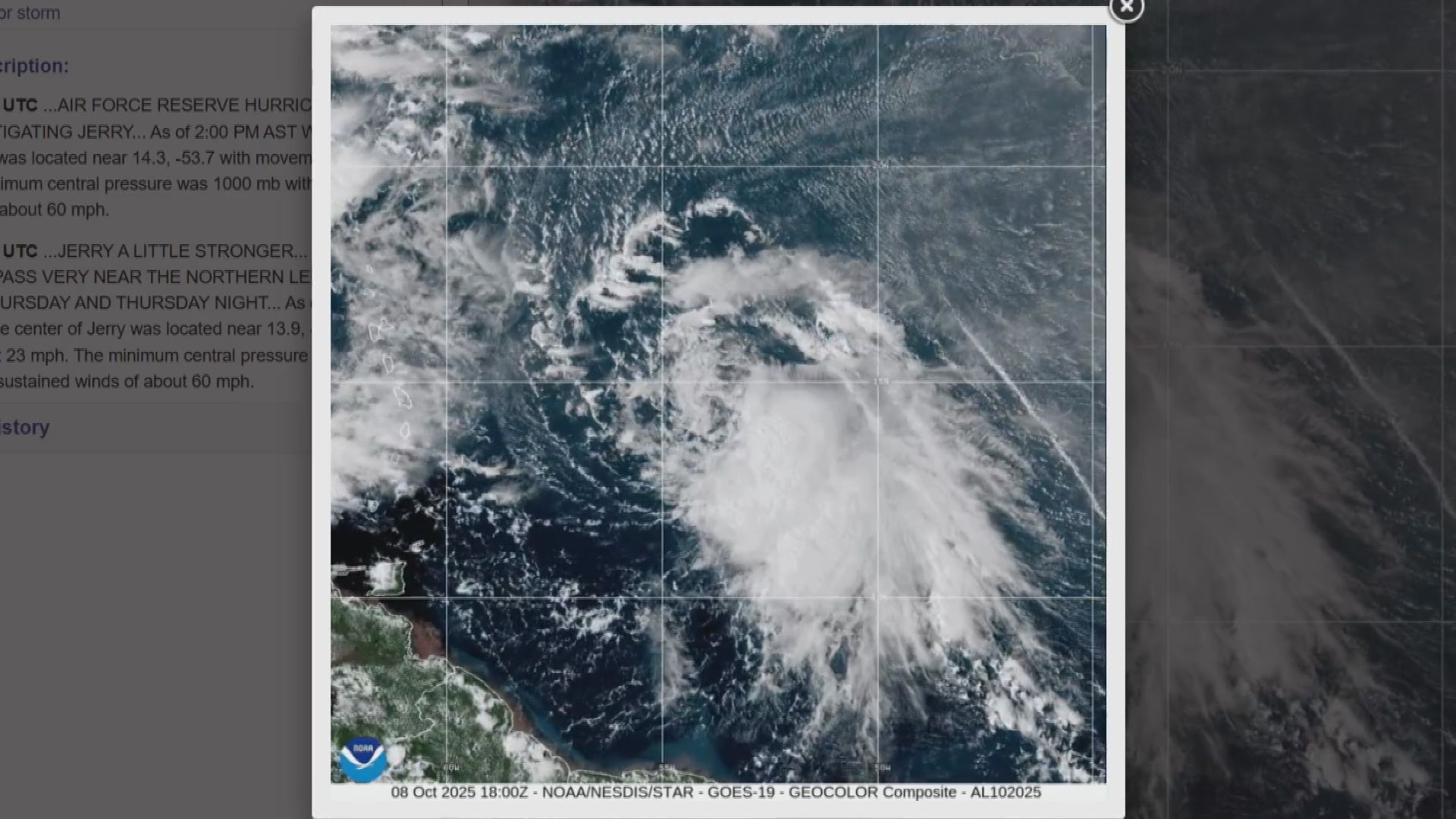
WASHINGTON, D.C. – Experts are keeping an eye on Tropical Storm Jerry over in the Atlantic. It developed earlier this week, but it’s likely to not make a direct hit on the eastern seaboard. However, the National Hurricane Center believes Jerry could develop into a hurricane by the weekend.
“All models are suggesting it is turning more towards the north and away from the islands,” said Ernesto Morales, the warning coordination meteorologist with the National Weather Service in San Juan, Puerto Rico. Even though the storm may pass north of the islands, Morales said there’s still a risk of strong winds, rain and choppy water.
“Maybe we will get squally weather throughout the islands with showers and thunderstorms that could sometimes have gusts of 40 – 35 – 40 miles per hour winds,” said Morales. “The strongest winds will really remain over waters and away from the area, but this will generate choppy seas in the local islands. So, any boaters out there or beach goers have to watch out because of the choppy seas through the period of the weekend.”
Even though the government is shut down, the National Hurricane Center will continue to provide Updates. Morales urges people to always stay ready for a storm.
“The last couple of years has been very hard for the islands because of stronger storms moving through the area, so I think that’s the lesson for us to live in paradise, we need to be ready for this type of condition,” said Morales. “And the [hurricane] season is not over. We still have October and November. The season ends on November 30th because the water is so warm any storm or depression or hurricane can come through. So, what we’re asking is for residents of the island to be ready.”