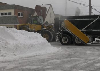
EAGLE HARBOR, Mich. (WZMQ) – Michigan saw its first snow of the season on September 4, when a few flakes fell in Eagle Harbor in the Keweenaw Peninsula.
While the timing was a little earlier than usual, meteorologists say it was not out of the ordinary.
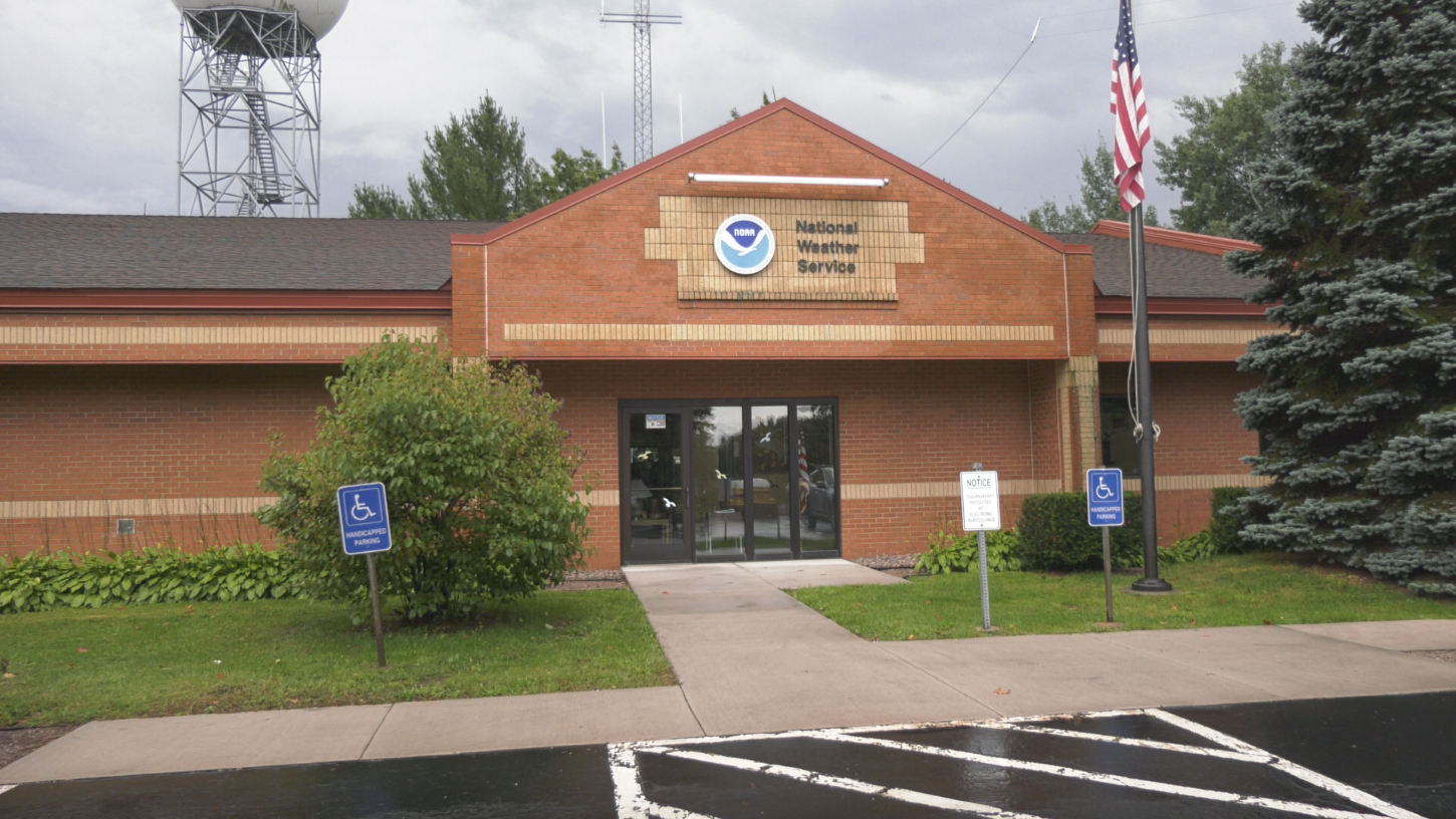
“It’s maybe a little bit on the earlier side of normal, but not totally unexpected,” said Dan Thompson, Science and Operations Officer with the National Weather Service. “Some of our longer-term observation sites have recorded a trace of snow as early as the first or second week of September.”
The snow was tied to an unseasonably cool air mass that briefly settled over the region. Thompson said it doesn’t signal anything about the coming winter.
“It indicates basically nothing about the winter ahead,” Thompson said. “It was just an unseasonably cool air mass that was in place for a couple of days, and it’s moved out.”
With that system gone, the National Weather Service is forecasting warmer-than-normal temperatures through the rest of September. Looking ahead to winter, Thompson said the outlook remains uncertain.
“There might be a weak La Niña, which is the opposite of El Niño, but the signal is just not that strong, so there’s not a lot we can say about the coming winter,” he said.
Thompson added that snowfall patterns vary greatly across the Upper Peninsula, with the Keweenaw and higher terrain outside Marquette seeing earlier flakes, while south-central areas tend to see snow later in the season.