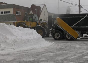
MARQUETTE, Mich. (WZMQ) – Over the past week windchill in the UP has dropped temperatures as low as -50 in places. Other parts of the UP have gotten up to 20 inches of lake effects snow.
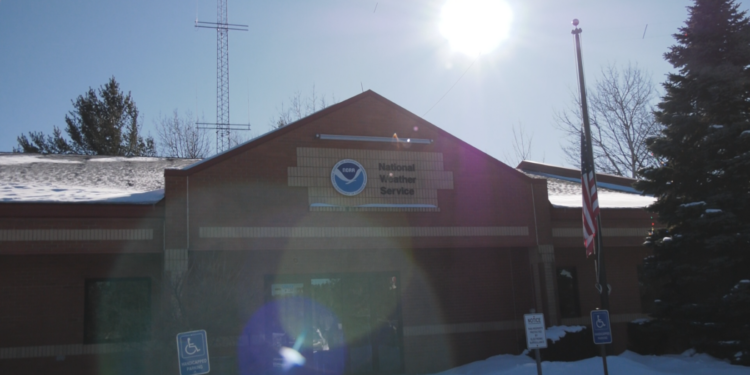
The National Weather Service said the cold wave originated as far north as the arctic and is not moving further south to hit the rest of the Midwest and beyond. “The cold air mass out of the high artic kind of filters east of the Rockies and eventually that airmass works its way east into the eastern seaboard and Canadian Maritimes and things like that,” said National Weather Service Observation Program Leader Jim Salzwedel. “And actually even further south towards the southern states.”
Although the temperatures will start to warm up a little over the next few days, Salzwedel said it could remain in the single digits or even below zero and everyone should make sure to cover extremities while outdoors.


